North America Continent

North America Continent

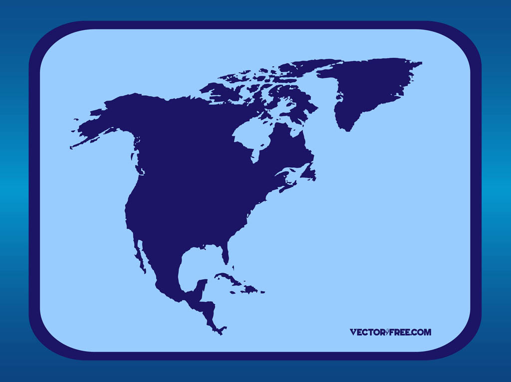
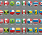
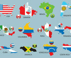
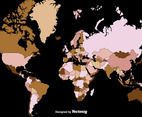
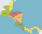
Download stylized vector map of USA, Mexico, Canada, Jamaica, Costa Rica, Haiti, Cuba, Honduras and El Salvador in Illustrator format for fast and easy editing. Useful map vector with outlines of the North American continent for all travel, holidays, tourism, business, economy and finance designs. Geography Vector by VectorFree.com

License:

This file is distributed under the Creative Commons Attribution 4.0 license.

Similar vectors

Dotted World Map
Watercolor World Map
New York Illustration
Happy Memorial Day Background
Happy Turkey Day Greeting Card
Happy Independence Day
Independence Day Retro Sale Tag
Patriotic Style Vector Background
World map
Retro Around The World Map Vector
Futuristic World Map
Happy Labor Day Retro Poster
Fourth of July Illustration
Free Vector President's Day Grungy Background
Free Vector President's Day Mosaic Background
Free Vector American Flag Modern Background
Retro World Travel
Hand Drawn Water Waves Vector Background
Colorful Canada Map with Surrounding Borders
Colorful Mexico Map with Surrounding Borders
Map of Mexico
Blue Planet
Map of Canada
Map of Canada
Canada Country Map with City Names
North America Vector
Colorful USA Map with Surrounding Borders
United States of America Map
USA Vector Map
Vector Globe
Globe Graphics
Glossy Globe
Mexico Map with Detail Country Name
Blue Planet Vectors
USA map in Cartoon Style
Oklahoma County Map
Map of Oklahoma
Map of Texas State Region
Map of Texas
Mexico Detailed Map with States
Digital World Map
Map of Mexico
Free Dotted World Map
Map of United States of America
Map of Mexico with Surrounding Borders
Colorful World Map Concept Background with Country Names
World Map Countries
Detailed Map of United States of America with Surrounding Borders
Detailed Vector Map of Mexico with City Name in Pastel Color
Hand Drawn Illustration of Texas Map with Tourist Destinations
Canada Country Map with City Names
3D Globes
Black and White World Map
World Map in Black and White
Mexico Map with Surrounding Borders
Hand Drawn Illustration of Los Angeles with Tourist Destinations
Hand Drawn Illustration of Oklahoma Map with tourist Destinations
Colorful Country Map USA
United States Of America Detailed Country Map Design Concept
United Kingdom Map with Surrounding Borders
United States Of America Map with Detail States Name
United States Of America Country Map With Surrounding Border
USA Map
Detailed Country of USA Map
World Map Concept Background with Country Names
Country Map of Canada
Country Map of United States of America
Detailed Map of Canada
Colorful Map of USA
Map of USA with Surrounding Borders
Vector Earth
Americas Globe
World Map with Earthy Tone Colors
World Map Vector Graphics
Planet Earth Vector Maps
USA Country Map with State Names
Colorful Mexico Map
Colorful Detailed Vector of World Map with Country Name